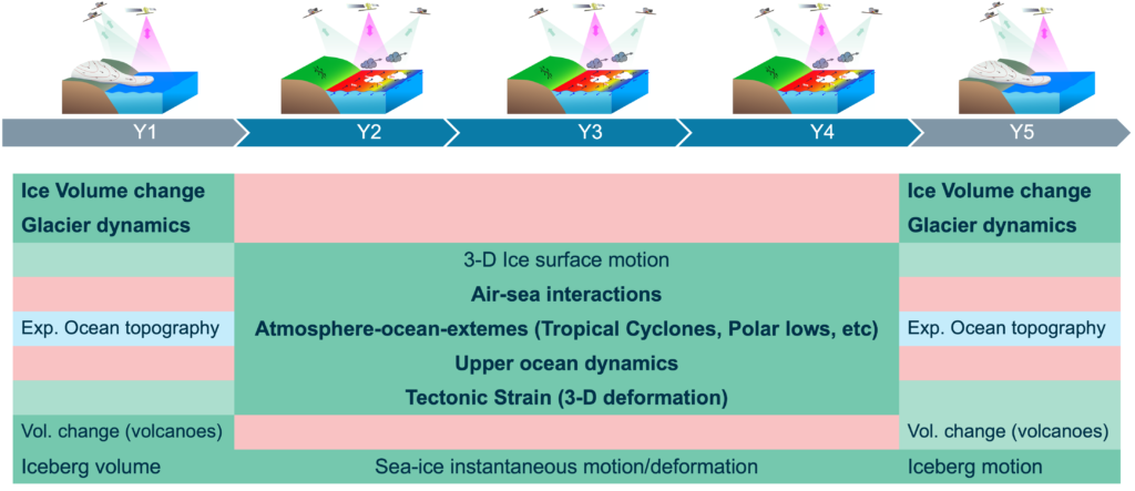
Harmony will alternate two flight configurations:
- In the StereoSAR phase, the Harmony satellites will fly respectively between 350 km and 400 km ahead and behind one of the Sentinel-1 mission satellites. The resulting three-satellite system provides three directional views. This provides information about the directional roughness of the surface, which is then used to retrieve surface wind stress and velocity-vector estimates using either short-baseline along-track interferometry (for ocean surface motions and sea ice) or repeat-pass differential interferometry (for solid-Earth and land-ice).
- In the XTI-phase, the two Harmony spacecraft will fly in close formation forming a single-pass interferometer, with baselines of a few hundred meters. This will provide time series of surface elevation maps, which will be used to quantify volume changes over, for example, glaciers and volcanoes.